Menabe · MADAGASCAR
Ten places to discover in Morondava and its region Ten 3D stops in Morondava and its region: places, landscapes and sounds of Madagascar.
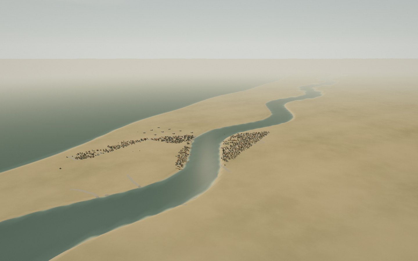
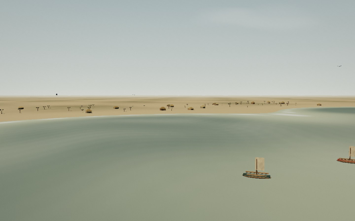
Start the immersive tour ↗ Morondava and its estuary Nosy Kely Betania village The mangroves Kimony Beach Avenue of the Baobabs Lovers’ Baobabs Kirindy Forest Belo-sur-Mer Kirindy Mitea Morondava and its estuary Morondava faces the Mozambique Channel from a low coast. Nosy Kely’s sandbar borders town, while channels, sandbanks and mangroves occupy the estuary.
Follow the estuary between town, sandbanks and the Mozambique Channel.
Access Destination panorama Place source ↗ See this stop ↗
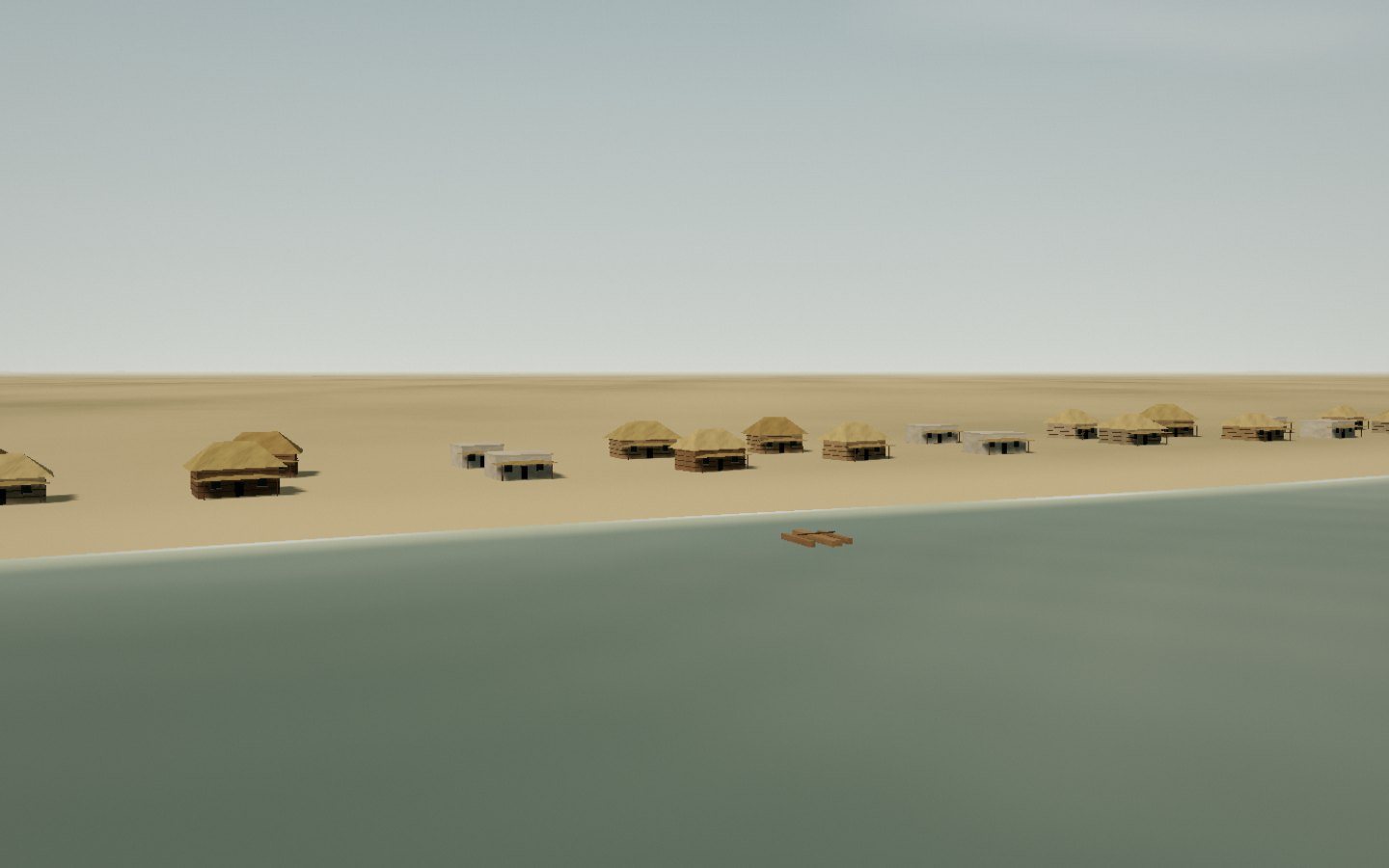
Nosy Kely Nosy Kely forms Morondava’s beachfront. Sand, pirogues and coastal houses face west towards the Mozambique Channel.
The walk follows the sand and waterfront houses.
Access Check access locally Place source ↗ See this stop ↗
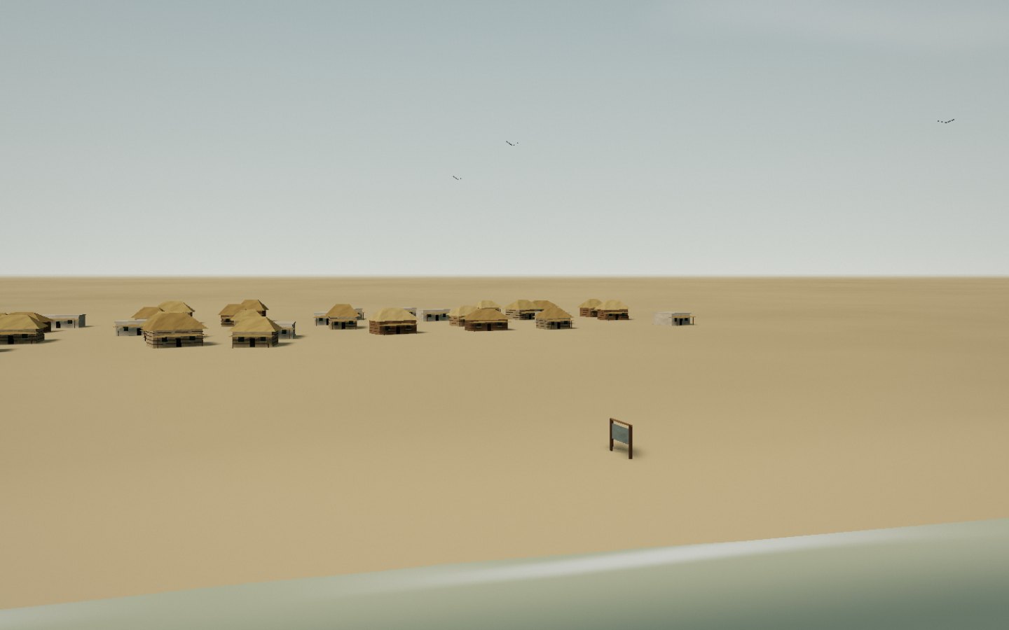
Betania village South of Morondava, Betania brings together a fishing village, pirogues and estuary scenery. The tour descends towards houses and boats drawn onto the sand.
Look at the pirogues, nets and houses along the shore.
Access Check access locally Place source ↗ See this stop ↗
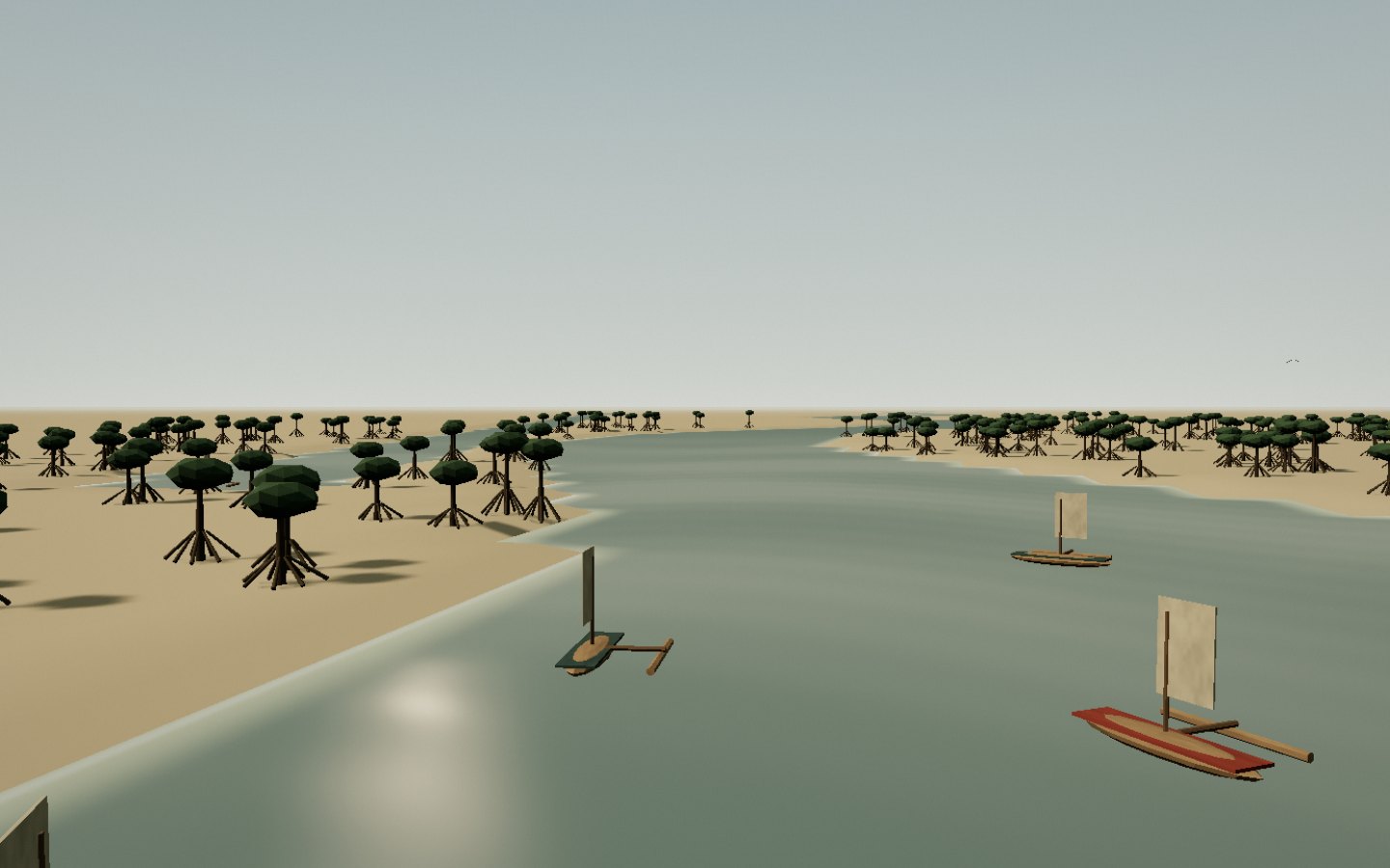
The mangroves Mangroves in Morondava’s estuary border tidal channels. Roots, mudflats and sediment-rich water offer another view of the coast.
Take time to read the landscape of roots and small channels.
Access Check access locally Place source ↗ See this stop ↗
Kimony Beach North of Morondava, Kimony opens onto the Mozambique Channel. A low coast, modest dunes and pirogues compose this Menabe landscape.
The beach stretches from the village towards an open horizon.
Access Arrange a regional excursion Place source ↗ See this stop ↗
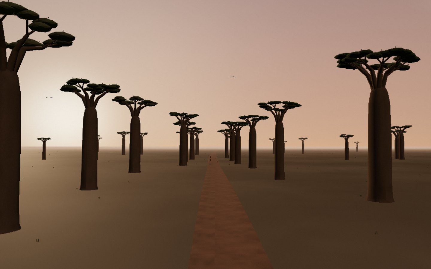
Avenue of the Baobabs Outside Morondava, the avenue gathers large grandidieri baobabs beside a dirt road. Tall massive trunks carry branched crowns in an open agricultural landscape.
Follow the track among the trunks rather than focusing on one tree.
Access Check access locally Place source ↗ See this stop ↗
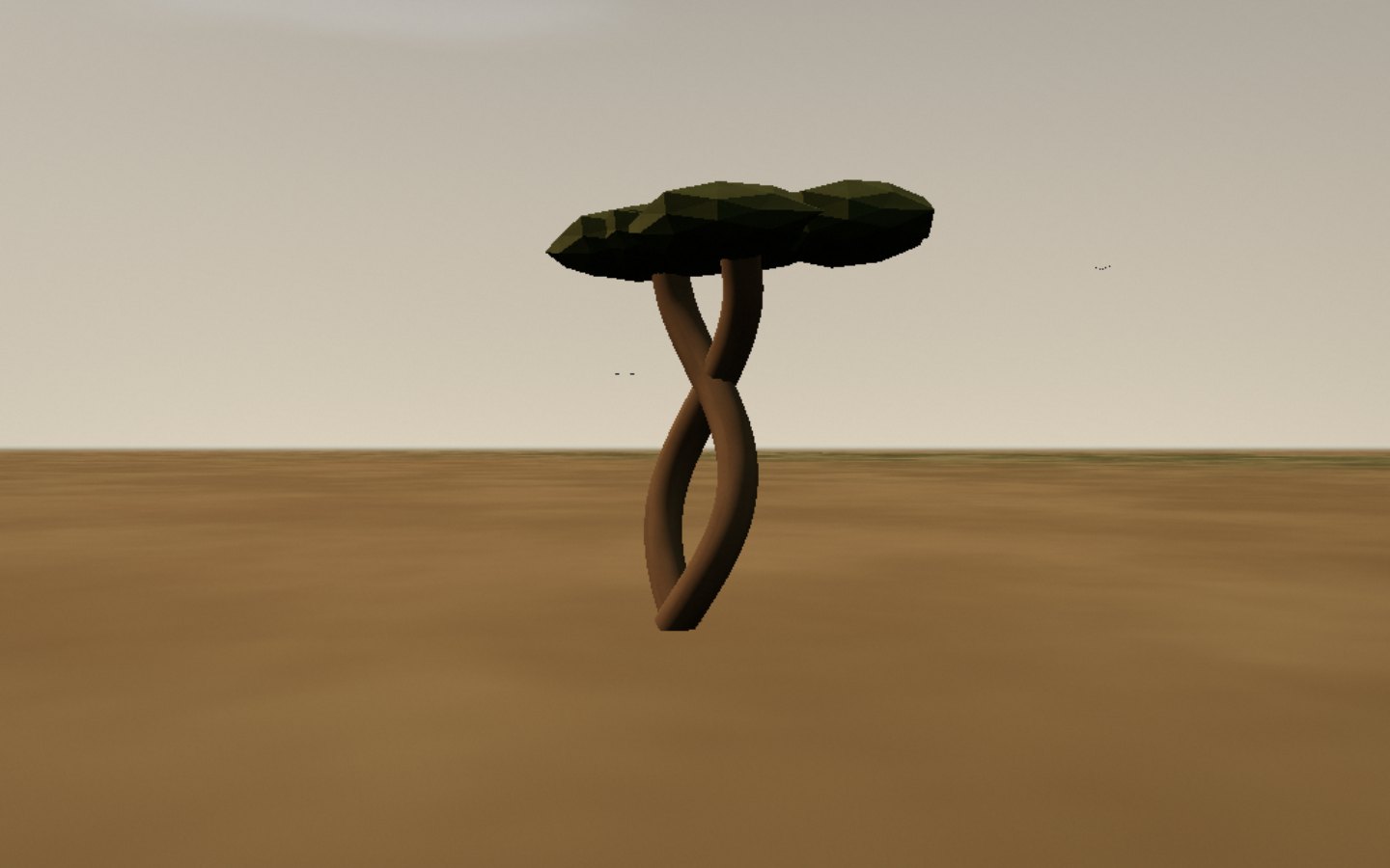
Lovers’ Baobabs Near the avenue, the lovers’ baobabs wrap their two trunks around one another. Their branches spread above a dry clearing.
The two trunks meet and separate within one silhouette.
Access Check access locally Place source ↗ See this stop ↗
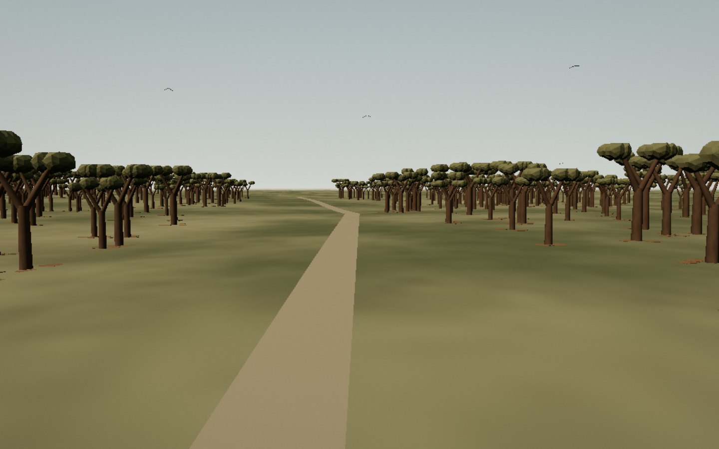
Kirindy Forest Northeast of Morondava, Kirindy is a dry forest where light filters between trunks and foliage. This stop leaves the coast and mangroves behind.
Watch the dry forest on either side of the trail.
Access Check access locally Place source ↗ See this stop ↗
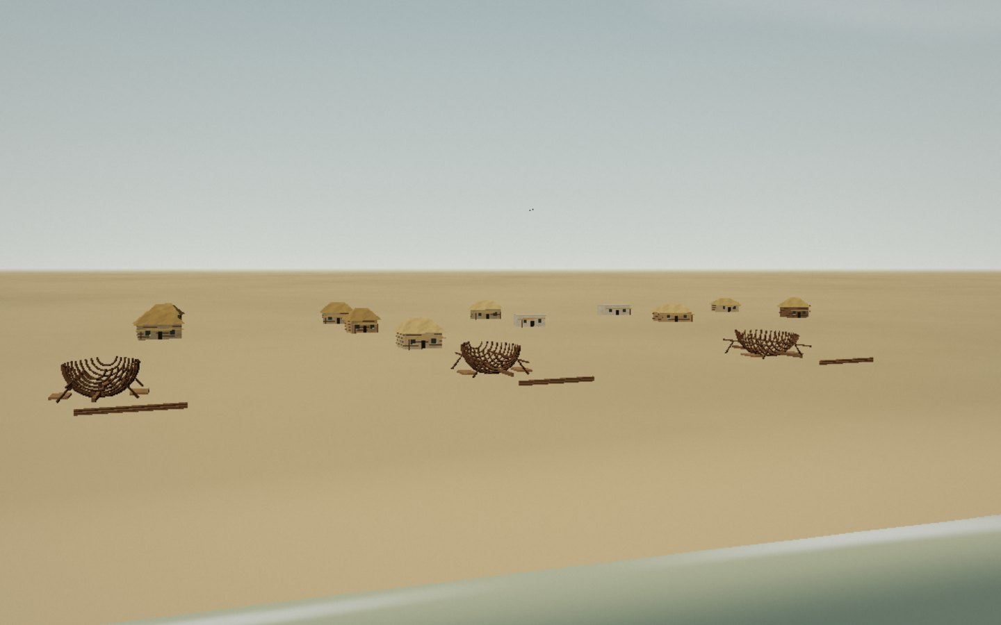
Belo-sur-Mer South of Morondava, Belo-sur-Mer is associated with fishing and boatbuilding. Wooden hulls, sails and houses reflect this craft near the shore.
The hulls and frames tell the story of the boatyard.
Access Arrange a regional excursion Place source ↗ See this stop ↗
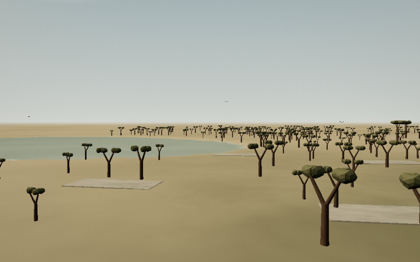
Kirindy Mitea South of Morondava, Kirindy Mitea brings together dry forest, coastal vegetation and wetlands. Baobabs, water and birds mark the transition between these habitats.
The journey opens views between dry forest and coast.
Access Check access locally Place source ↗ See this stop ↗